| |
| |
| |
The New RS10 Handheld SLAM 3D Laser Scanner + GNSS RTK System |
|
| |
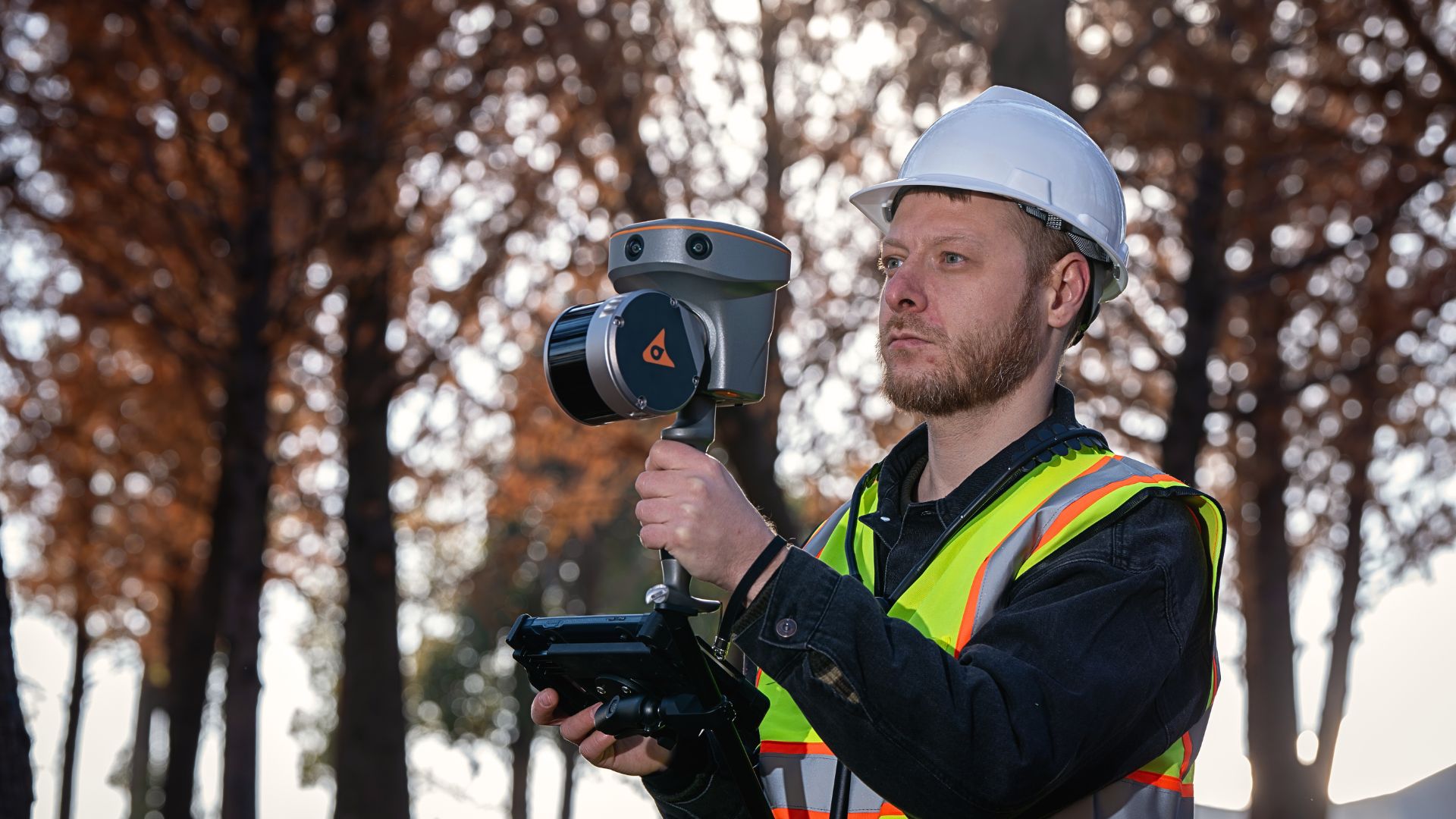
The CHCNAV RS10 represents an innovative and affordable handheld SLAM LiDAR laser scanner combined with a full-featured GNSS receiver, designed for capturing rich 3D geospatial data in both outdoor and indoor environments.
Designed to boost productivity across a wide range of mapping and surveying tasks, the RS10 offers a versatile, all-in-one solution that simplifies workflows without sacrificing accuracy or flexibility.
With its innovative design and competitive pricing, the CHCNAV RS10 stands as the tool of choice for mapping and surveying professionals, providing a versatile solution that meets your needs without breaking your budget.
|
|
| |
| |
| |
| |
| |
| |
The Power of Precision in Your Hands |
|
RTK and SLAM Fusion for Better Accuracy |
|
Achieve precise mapping in challenging environments. |
|
| |
Real-Time SLAM Capabilities |
|
Instantly generate georeferenced point clouds in the field. |
|
| |
Loop-Closure Free Operation |
|
Streamlined field data capture, significantly reducing time spent in the field and enhancing productivity. |
|
| |
New Surveying Experience with Vi-LiDAR |
|
Combine GNSS rover capabilities with laser scanning to provide contactless measurements.
|
|
| |
| |
Contact us today to schedule a demonstration of the CHCNAV RS10 Handheld SLAM Laser Scanner + GNSS RTK System. Discover how it can transform your operations!
|
|
| |
Follow us on Social Media |
|
| |
| |
| |

.jpg)
