| 
| | The open-source release of FGI-GSRx software receiver widens its user base and offers researchers, students and developers a chance to utilize the research platform for new innovations. | |
|
| 
| | Hexagon | Veripos has expanded its inertial solution SPAN GNSS+INS technology from NovAtel. | |
|
| 
| | France has begun the Synchrocube project with an aim to provide a complementary service to GNSS. | |
| 
| | SPONSORED | | Critical infrastructures for communications, transportation, energy, and data centers need accurate and precise clocks. The vPRTC is a highly secure and resilient network-based timing architecture that has been developed to meet the expanding needs of modern critical infrastructures. | |
|
|
| 
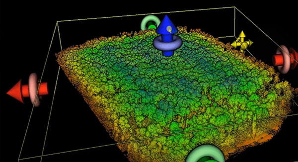
| | OxTS Georeferencer 2.0 is now available, introducing several key improvements, particularly for professional lidar surveyors. | |
|
| 
| | Measuring and marking the center of an installation has its challenges, so knowing how to compute the center is an important aspect of the surveyor’s duty. | |
| 
| | SPONSORED | | LabSat GNSS simulators are lightweight, portable and affordable – making them your ideal test partner anywhere you need to record raw GNSS RF data. | |
|
|
| Map More Move Less. Combining laser rangefinders with a Bad Elf GNSS receiver, smart device, and the popular Esri Field Map mapping app, you can collect remote assets safely and efficiently. LaserGIS mapping solution is for field crews that need to collect information they need in access-limited situations. | Registering gives you access to this webinar even after it airs! | |
&uuid=(email)) | Date: March 24
Time: 1 p.m. EDT
Duration: 60 minutes + time for Q&A
Sponsored by: Laser Technology
Steven Colburn, Application Training Specialist, Laser Technology
Derrick Reish, Senior Product Manager, Laser Technology
Dr. Nikolas Smilovsky, GISP, GIS Solutions Director, Bad Elf
|
|
|
  |
- - - - - - - - - - - - - - - - - - - - - - - - - - - - - - - - -  |
|

&uuid=(email))