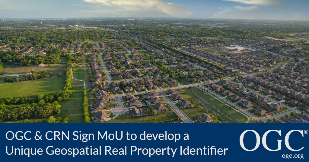
OGC and CRN will work together to develop a unique geospatial real property identifier that has applications in housing finance and beyond.
Contact: info@ogc.org
The Open Geospatial Consortium (OGC) is excited to announce that it has signed a Memorandum of Understanding (MoU) with the non-profit Collateral Risk Network (CRN). Under the MoU, OGC and CRN will work together to develop a unique geospatial real property identifier (PUID) that has applications in housing finance and beyond.

OGC Chief Standards Officer, Scott Simmons, commented: “OGC is encouraged by the vision CRN has for real property identifiers that take advantage of modern IT practices for better integration with users at all levels: from housing finance participants to consumers. The work being undertaken by CRN and OGC will ensure that location information associated with property adheres to the best industry practices for accuracy and information sharing.”
Joan Trice, the founder and President of the CRN states: “Democratization of real property data is mandatory if we are going to endeavor to modernize housing finance. I knew we found the right partner to guide us through this process when I was introduced to the FAIR principles that OGC adheres to – Findable, Accessible, Interoperable, and Reusable. That says it all.”
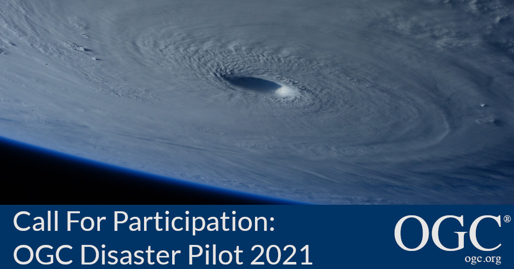
OGC Disaster Pilot 2021 will prototype and demonstrate end-to-end capabilities that integrate OGC standards, data, services, and state-of-the-art technologies to support decision makers and responders in times of crisis
The Open Geospatial Consortium (OGC) is seeking participants in the OGC Disaster Pilot 2021, building on 2019’s very successful Disaster Resilience Pilot. Responses are due by May 21, 2021.
The 2021 Pilot is sponsored by OGC Strategic Members USGS, NRCan, NASA, and others, supported by OGC Principal Members AWS, and Maxar, as well as Government member CONIDA, and in collaboration with AmeriGEO, ESIP, and CEOS. The Pilot will improve the ability of key decision makers and responders to discover, manage, access, qualify, share, and exploit location-based information in support of disaster preparedness and response and multi-hazard risk analysis.


