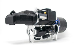
UAV/LiDAR Fusion by Design with TrueView from GeoCue
August 22, 2019 by Susan Smith
GeoCue President and CTO, Lewis Graham, answered some questions for GISCafe Voice about GeoCue products and their new TrueView platform. TrueView is UAV/LiDAR fusion by design, according to company materials, an integrated LIDAR/camera fusion platform designed from the ground up to generate high accuracy 3D colorized point clouds.


