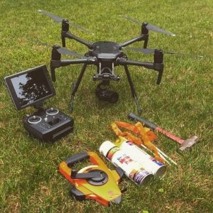
Dresdner Robin Assesses Flood-Prone Waterways Using Drone Image Capture
February 7, 2019 by Susan Smith
Surveyors use drone technology to capture images of at-risk for flooding riparian areas of northern New Jersey. These images captured by unmanned aerial vehicles (UAV) have become part of the documentation for a Federal Emergency Management Agency (FEMA) program that has saved Pompton Lakes, New Jersey residents hundreds of thousands of dollars per year on flood insurance premiums.


