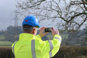
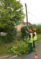
Aerial mapping company Bluesky of Leicestershire, UK has completed a research project backed by the UK government’s innovation agency, Innovate UK, to develop the use of mobile phones for capturing accurate 3D spatial information.
The nine-month research project focused on the use of standard smart phone technology to capture and calibrate video footage, and then convert it to 3D information. Designed for electricity Distribution Network Operators (DNO) and other organizations with a distributed asset base, the low-cost measurement tool can provide an accurate record of the feature’s location and its environment. Accurate measurements of essential infrastructure, such as overhead power lines and other utility facilities, could then be extracted using specially developed algorithms and workflows.


