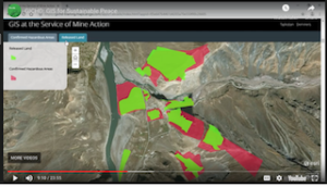
GICHD: Using GIS for Clearing Landmines and Restoring Land to Use
September 13, 2019 by Susan Smith
With all the uses that have been discovered for GIS, humanitarian demining is one that has not gotten a lot of attention. Land mines and unexploded remnants of war are embedded in the soil and structures of one-third of the world’s developing countries. These abandoned time bombs affect innocent people long after the war has ended, making so many areas uninhabitable.


